We explain what the Bering Strait is, its width and depth. In addition, who owes its name and theories about this place.
-
What is the Bering Strait?
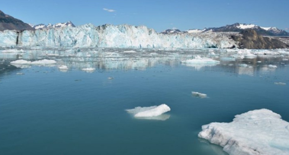
It is known as Bering Strait ( Bering S trait , in English) a portion of the sea that extends between the eastern end of the Asian territory (Siberia, Russia) and the northwestern end of the American (Alaska), serving as a communicating channel between the Chukotka Sea (to the north) and the Bering Sea (to the south). It has a width of 82 kilometers of cold water and an average depth of 30 to 50 meters.
The Bering Strait was named after the Danish explorer Vitus Bering , who in the service of the Russian Empire crossed it for the first time in 1728. It is assumed that the Russian explorer Semión Dezniov would have crossed its waters in 1648, but that news would not have reached Europe. There were later expeditions of the British James Cook (1778) and Frederick William Beechey (1826).
Inside the strait there are two islands known as the Diomedes Islands: the Diómedes Menor is American territory and the Diómedes Mayor is Russian territory. Between the two islands, the international date change line passes, which divides the strait into two.
Various plans for the construction of a bridge that connect the two ends of the Bering Strait have been proposed, allowing land transit from Asia to America. The initial project was abandoned after the success of the Transatlantic Telegraph Cable, but resumed in recent years (2011) as a commercial passage project between the United States, Russia and China, which could include a 200 km long underwater tunnel.
At present, the Bering Strait area is a closed military zone , which is possible to visit with the proper safe-conducts of the Russian government, which is usually very strict in its control of the region. The only nearby Russian populations are the cities of Anadyr and Providéniya.
-
Theory about the Bering Strait
Some theories about the migration of the human being from Asia to America in remote times see in the Bering Strait a possible answer: the low level of the oceans caused by a glacial era or glaciation, would have exposed a stretch of land joining both continents, through which some human ancestor would have migrated. This natural bridge would be known as the Beringia Bridge.
This would have given rise to the human colonization of the American continent and, above all, to a parallel evolution with respect to its European and Asian cousins, since by increasing the global temperature and melting the ice, the ocean would have increased its level and submerged the natural bridge between the continents, isolating the American settlers. This theory is still under discussion by the various specialists in the field.